Weather, Physical & Biological Data
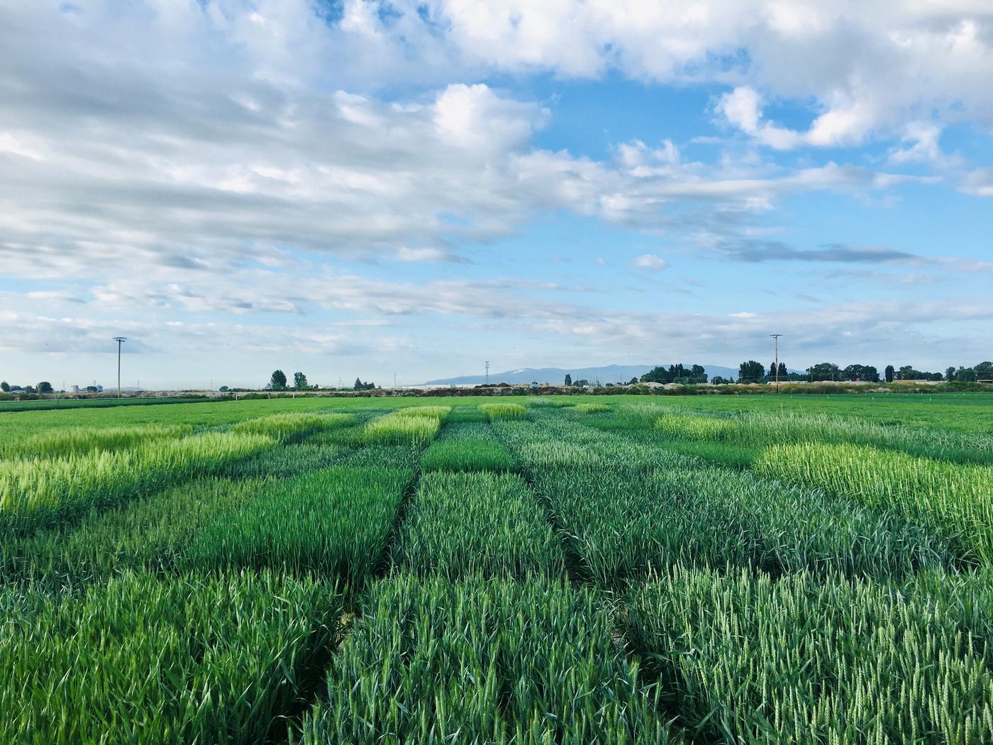
IREC sits on 140 acres of rich, reclaimed lake-bottom soil with >5% organic matter content. The Tulebasin mucky silty clay loam soil is well suited for growing potatoes, onions, cereal grains, alfalfa, peppermint and forage grasses, all of which you will find growing on the Center.
Our weather is classified as being in the high mountain interior valley climate zone. The annual summer maximum mean is 73 degrees F, and the winter minimum mean is 29.1 degrees F. The area is characterized by a short growing season with warm days and cool nights. Frost is possible any day of the season.
The annual mean precipitation is 12.88" per year, making summer irrigation a necessity for crop production.
Local Weather
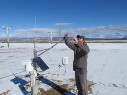
Linked data is from the California Irrigation Management Information System (CIMIS) weather stations. Visit CIMIS web site.
Modoc County Station
Siskiyou County Stations
- Macdoel II, Macdoel
- Scott Valley, Fort Jones
- Tulelake FS, Tulelake

Weekly Crop Water Use Table
Our office maintains and makes available an irrigation scheduling tool called the Crop Water Use Table, linked below. The information provided is for the primary crops grown in the Tulelake Basin. For assistance on how to use this tool, please read the Crop Water Use Table Article or call our office.

